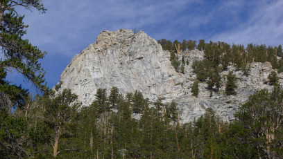
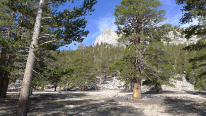
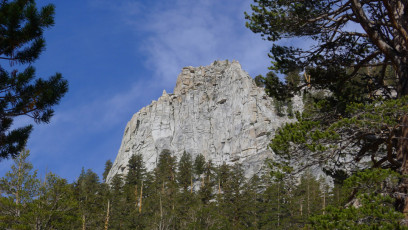
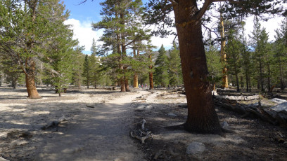
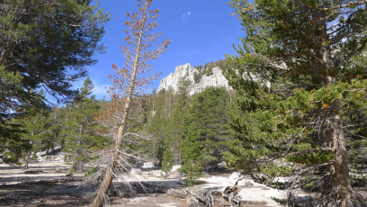
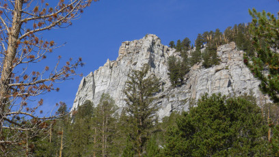
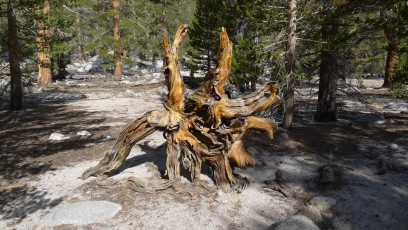
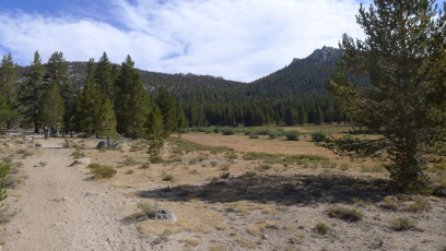
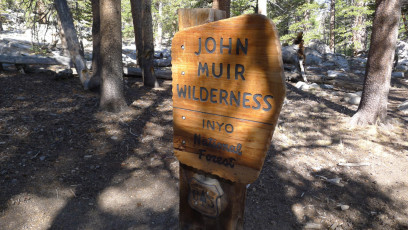
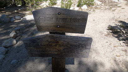
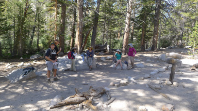
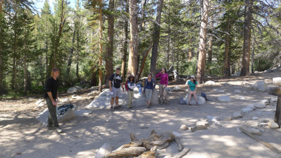
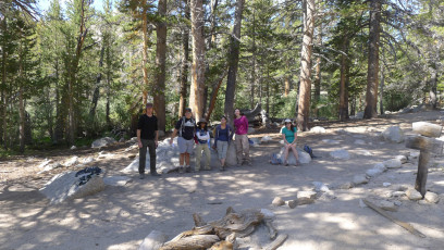
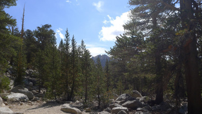
P1010383P1010384P1010385P1010386P1010387P1010388P1010389P1010390P1010391P1010392P1010393P1010394P1010395P1010396P1010397P1010398P1010399P1010400 (1693) Related Posts Filter by Post type Post Page Category Photos GPS Tracks Training and Courses Sort by Title Relevance Horseshoe Meadows – The Drive – Photo Gallery 2012-08-06 12:38:46 2 Horseshoe Meadows – GPS Track 2012-08-06 12:08:37 2 Horseshoe to Lone Pine – Views – Photo Gallery 2012-08-06 12:45:13 1 Mount Whitney, Mount Muir – GPS Track 2013-09-03 22:18:03 0 San Gorgonio via South Fork – GPS Track 2012-06-17 14:31:56 0 Wood Canyon – Mathis – GPS Track 2012-03-28 10:46:46 0 Manza Benchmark – GPS Track 2015-01-10 08:25:38 1 North Peak – Photo Gallery 2015-08-08 10:51:20 1 Red Mountain – Photo Gallery 2013-11-22 15:06:19 1 Thunder Mountain, Telegraph Peak, Mount Harwood – GPS Track 2012-10-20 17:18:38 1 Timber Mountain – Photo Gallery 2014-10-24 12:37:34 1 San Jacinto Pk, Folly, San Jacinto Azimuth BM, Jean, Shirley, Marion, St Ellens – GPS Track 2015-08-23 10:44:33 1 Mortons Peak Lookout + Cram Peak – Photo Gallery 2012-02-04 21:52:40 1 Bertha Peak – GPS Track 2015-11-23 10:43:34 1 Swiftwater and Flood Rescue Certification SRT1-SRTA – Photo Gallery 2019-03-22 07:03:10 1 Peak Mountain – GPS Track 2014-10-10 09:59:04 1 Rattlesnake Mountain – Photo Gallery 2014-01-24 08:40:04 1 Meeks Mountain – GPS Track 2015-11-29 10:26:58 1 Horseshoe Meadows – Hike – Photo Gallery Photos | August 6, 2012 12:41 pm 0 Comments