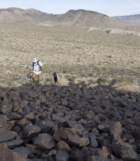
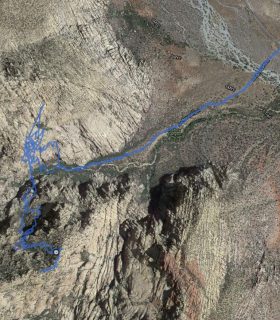
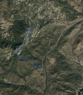
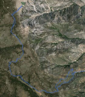
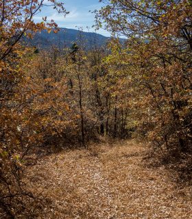
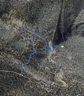
Malapai Hill – Joshua Tree National Park – San Bernardino County – California
Total distance: 1.64 mi
Max elevation: 4283 ft
Min elevation: 3781 ft
Total climbing: 635 ft
Total descent: -581 ft
Average temperature:
Download file: 2013-03-02-MalapaiHill.gpx
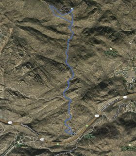
Max elevation: 4283 ft
Min elevation: 3781 ft
Total climbing: 635 ft
Total descent: -581 ft
Average temperature:
(1795)