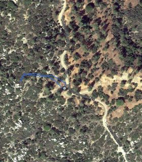
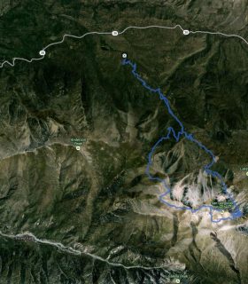
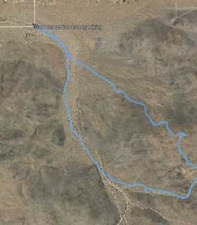
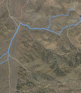
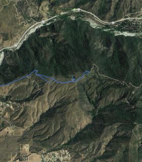
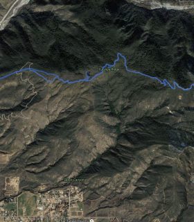
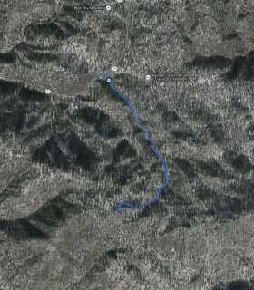
South Fork, Dry Lake – San Bernardino National Forest – San Bernardino County – California
Total distance: 11.13 mi
Max elevation: 9095 ft
Min elevation: 6878 ft
Total climbing: 2674 ft
Total descent: -2682 ft
Average temperature:
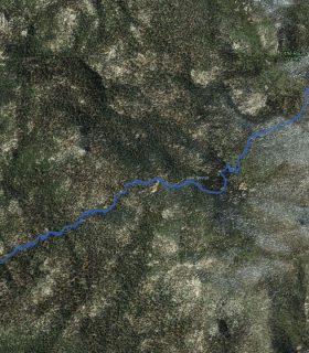
Download file: 2013-01-13-SouthForkToDryLake-SnowShoe.gpx
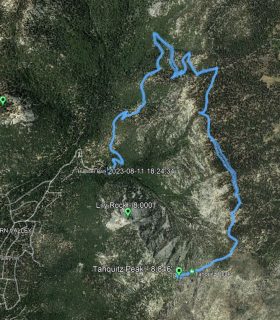
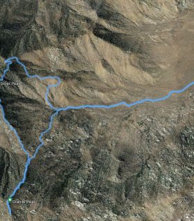
Max elevation: 9095 ft
Min elevation: 6878 ft
Total climbing: 2674 ft
Total descent: -2682 ft
Average temperature:
(1662)