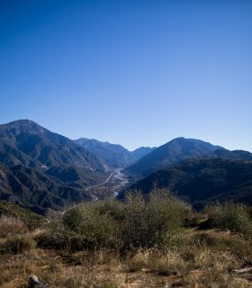
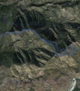
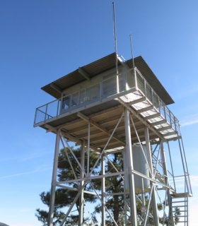
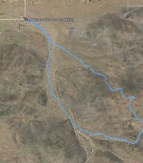
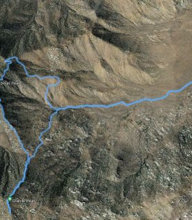
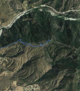
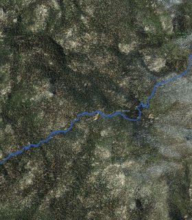
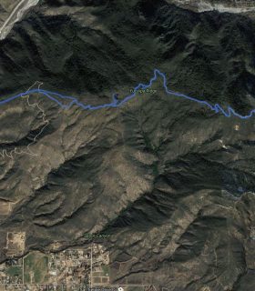
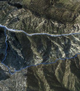
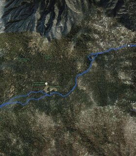
Cram Peak, Morton’s Lookout – San Bernardino National Forest – San Bernardino County – California
Total distance: 9.66 mi
Max elevation: 4600 ft
Min elevation: 3275 ft
Total climbing: 2028 ft
Total descent: -2680 ft
Average temperature:
Download file: 2012-12-08-CramMortons.gpx
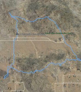
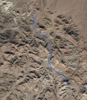
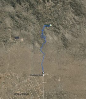
Max elevation: 4600 ft
Min elevation: 3275 ft
Total climbing: 2028 ft
Total descent: -2680 ft
Average temperature:
(1929)