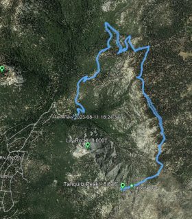
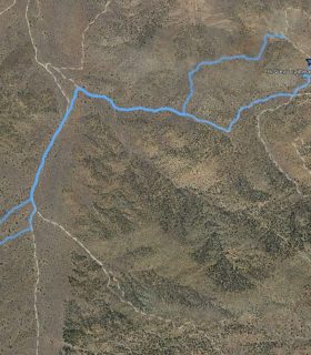
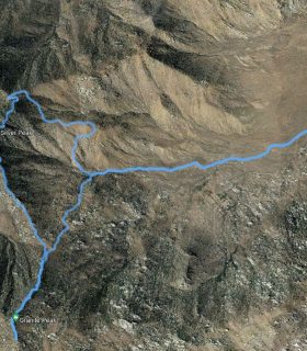
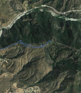
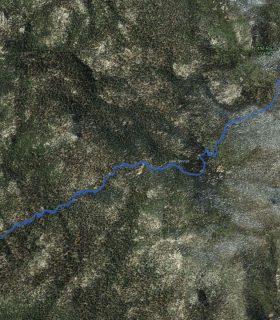
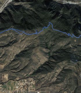
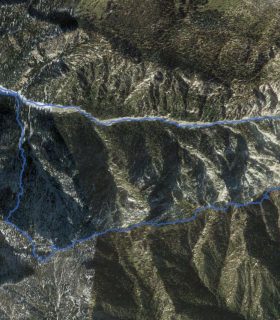
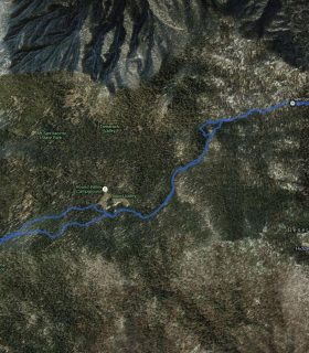
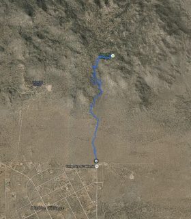
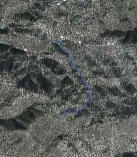
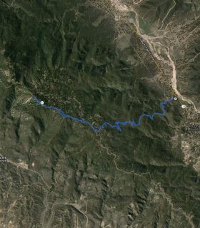
Grays Peak – San Bernardino National Forest – San Bernardino County – California
Total distance: 6.53 mi
Max elevation: 7847 ft
Min elevation: 6718 ft
Total climbing: 1299 ft
Total descent: -1301 ft
Average temperature:
Download file: 2015-07-27-GraysPeak.gpx
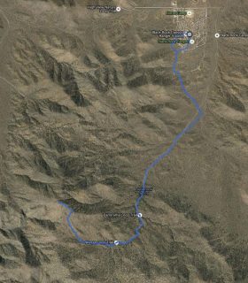
Max elevation: 7847 ft
Min elevation: 6718 ft
Total climbing: 1299 ft
Total descent: -1301 ft
Average temperature:
(1534)