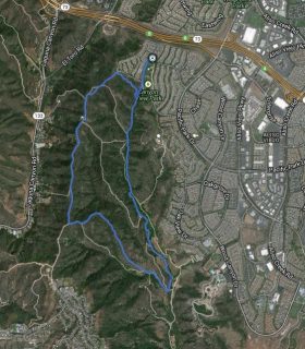
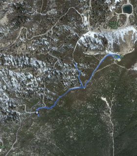
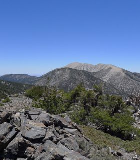
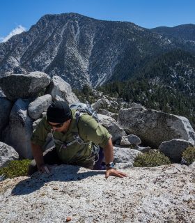
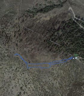
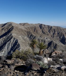
Castle Rocks – San Jacinto State Wilderness – San Bernardino National Forest – Riverside County – California
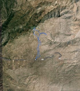
Total distance: 3.88 mi
Max elevation: 8604 ft
Min elevation: 7642 ft
Total climbing: 1054 ft
Total descent: -1238 ft
Average temperature:
Download file: 2014-09-28-CastleRocks.gpx
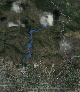
Max elevation: 8604 ft
Min elevation: 7642 ft
Total climbing: 1054 ft
Total descent: -1238 ft
Average temperature:
(1790)
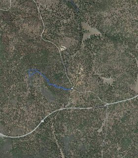
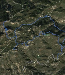
Hut BM, Bonny BM, White BM, The Thimble, San Ysidro Mountain, Goat BM – GPS Track
2014-03-19 20:29:05
1