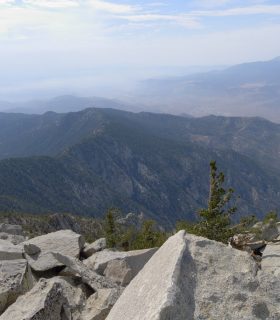
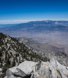
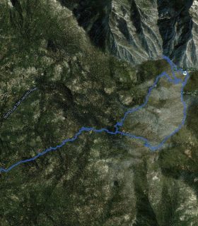
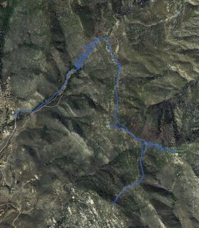
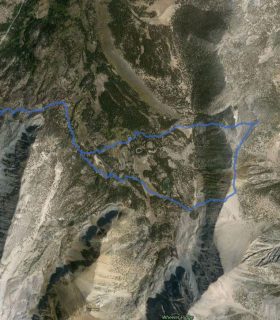
Cornell Peak, Miller Peak, Folly Peak – San Jacinto Wilderness – Riverside County – California
Total distance: 13.22 mi
Max elevation: 10598 ft
Min elevation: 8415 ft
Total climbing: 5038 ft
Total descent: -4887 ft
Average temperature:
Download file: 2013-07-02-CornellFolly.gpx
Max elevation: 10598 ft
Min elevation: 8415 ft
Total climbing: 5038 ft
Total descent: -4887 ft
Average temperature:
(2104)