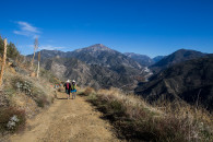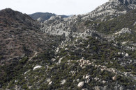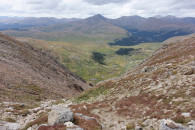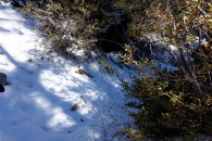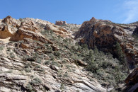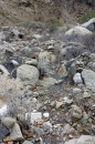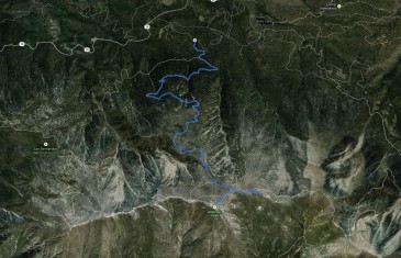
Anderson Peak, Shields Peak – San Bernardino County – California Note: GPS Track only depicts the ascent. http://thistrail.com/gpx/2012-06-28-AndersonSheilds.gpx
Read more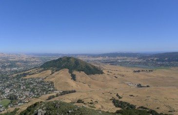
Bishop_Panorama1P1000268P1000269P1000270P1000271P1000272P1000273P1000274P1000275P1000276P1000277P1000278P1000279P1000280P1000281P1000282P1000283P1000284P1000285P1000286P1000287P1000288P1000289P1000290P1000291P1000292P1000293P1000294P1000295P1000296P1000297P1000298P1000299P1000300P1000301P1000302P1000303P1000304P1000305P1000306P1000307P1000308P1000309P1000310P1000311
Read more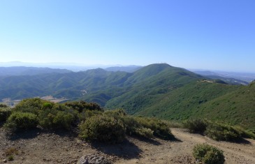
CerroAlto_Panorama1P1000181P1000182P1000183P1000184P1000185P1000186P1000187P1000188P1000189P1000190P1000191P1000192P1000193P1000194P1000195P1000196P1000197P1000198P1000199P1000200P1000201P1000202P1000203P1000204P1000205P1000206P1000207P1000209P1000210P1000211P1000213P1000214P1000215P1000216P1000217P1000218P1000219P1000220P1000221P1000222P1000223P1000224P1000225P1000226P1000227P1000228P1000229P1000230P1000231P1000232P1000233P1000234P1000235P1000236P1000237P1000238P1000239P1000240P1000241P1000242P1000243P1000244P1000245P1000246P1000247P1000251P1000252P1000253P1000254P1000255P1000256P1000257P1000258P1000259P1000260P1000261P1000262P1000263P1000264P1000265P1000266
Read more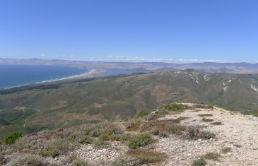
P1000086P1000087P1000088P1000089P1000090P1000091P1000092P1000093P1000094P1000095P1000096P1000097P1000098P1000099P1000100P1000101P1000102P1000103P1000104P1000105P1000106P1000107P1000108P1000109P1000110P1000111P1000112P1000113P1000114P1000115P1000116P1000117P1000118P1000119P1000120P1000121P1000122P1000123P1000124P1000125P1000126P1000127P1000128P1000129P1000130P1000131P1000132P1000133P1000134P1000135P1000136P1000137P1000138P1000139P1000140P1000141P1000142P1000143P1000144P1000145P1000146P1000147P1000148P1000149P1000150P1000151P1000152P1000153P1000154P1000155P1000156P1000157P1000158P1000159P1000160P1000161P1000162P1000163P1000164P1000165P1000166P1000167P1000168P1000169P1000170P1000171P1000172P1000173P1000174P1000175P1000176P1000177P1000178P1000179P1000180Valencia_Panorama1
Read more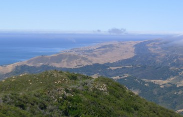
P1000009P1000010P1000011P1000012P1000013P1000014P1000015P1000016P1000017P1000018P1000019P1000020P1000021P1000022P1000023P1000024P1000025P1000026P1000027P1000028P1000029P1000030P1000031P1000032P1000033P1000034P1000035P1000036P1000037P1000038P1000039P1000040P1000041P1000042P1000043P1000044P1000045P1000046P1000047P1000048P1000049P1000050P1000051P1000052P1000053P1000054P1000055P1000056P1000057P1000058P1000059P1000060P1000061P1000062P1000063P1000064P1000065P1000066P1000067P1000068P1000069P1000070P1000071P1000072P1000073P1000074P1000075P1000076P1000077P1000078P1000079P1000080P1000081P1000082P1000083P1000084P1000085
Read more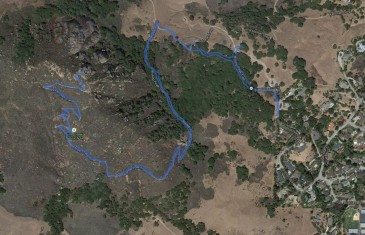
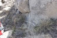
Bishop Peak – San Luis Obispo County – California http://thistrail.com/gpx/2012-06-24-BishopPeak.gpx
Read more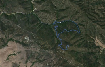
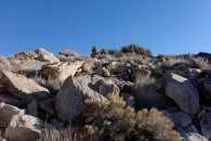
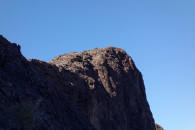
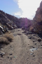
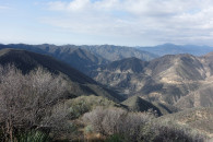
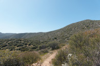
Cerro Alto Peak – San Luis Obispo County – California http://thistrail.com/gpx/2012-06-24-CerroAlto.gpx
Read more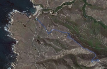
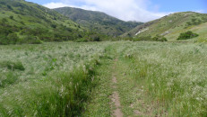
Valencia Peak – San Luis Obispo County – California http://thistrail.com/gpx/2012-06-23-ValenciaPeak.gpx
Read more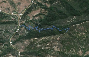
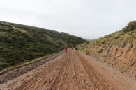
Gaviota Peak – Santa Barbara County – California http://thistrail.com/gpx/2012-06-23-GaviotaPeak.gpx
Read more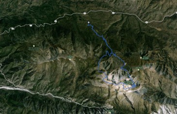
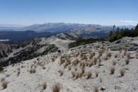
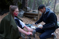
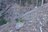
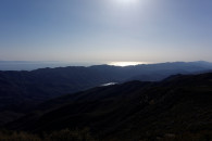
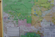
San Gorgonio Mountain – San Bernardino Mountains – California Note: GPS Track is missing the last 3 miles of the hike. http://thistrail.com/gpx/2012-06-17-SanGorgonioSouthForkLoop.gpx
Read more