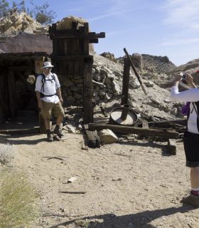
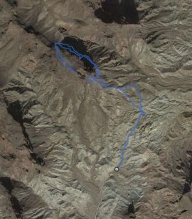
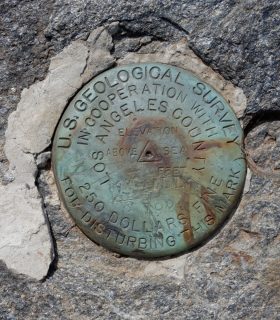
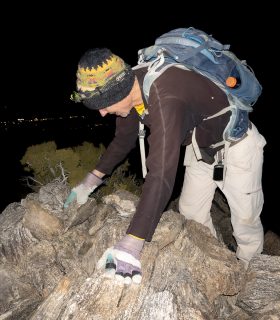
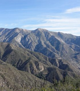
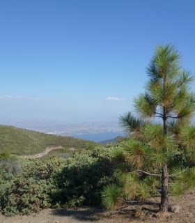
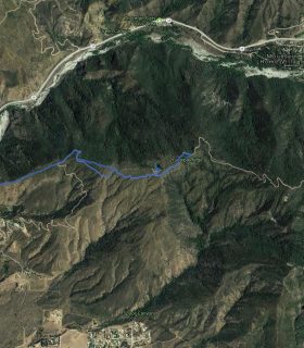
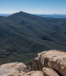
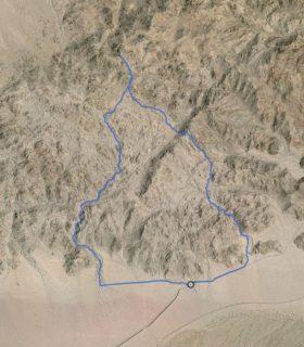
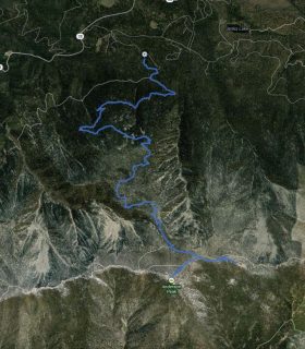
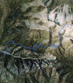
Mastodon Peak – Joshua Tree National Park – San Bernardino County – California
Total distance: 2.66 mi
Max elevation: 3451 ft
Min elevation: 2963 ft
Total climbing: 643 ft
Total descent: -622 ft
Average temperature:
Download file: 2013-03-02-MastodonPeak.gpx
Max elevation: 3451 ft
Min elevation: 2963 ft
Total climbing: 643 ft
Total descent: -622 ft
Average temperature:
(1696)