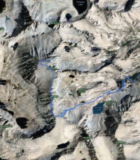
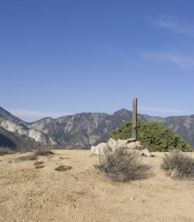
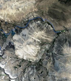
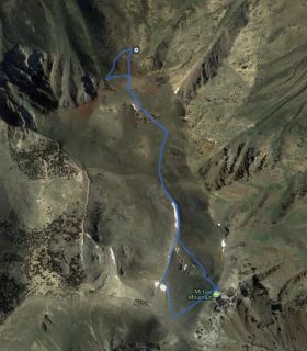
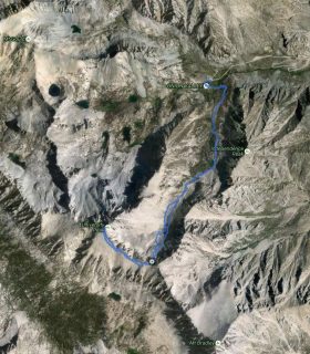
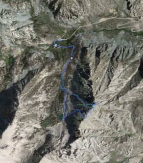
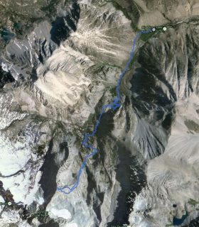
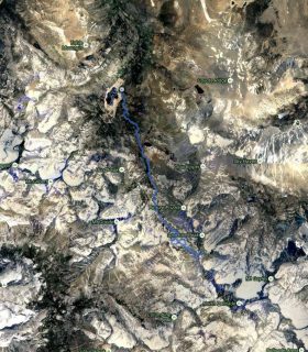
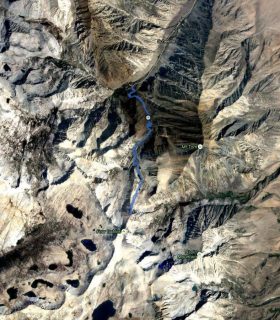
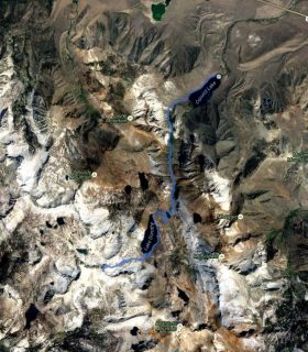
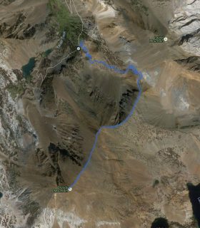
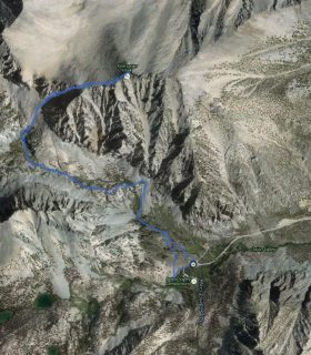
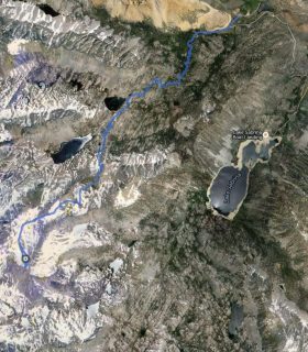
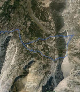
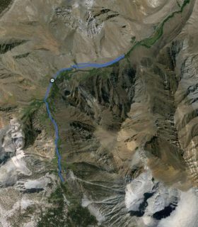
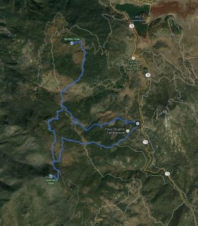
Mount Muir (LPC) – San Gabriel National Forest – Los Angeles County – California
Total distance: 6.67 mi
Max elevation: 5393 ft
Min elevation: 4470 ft
Total climbing: 1693 ft
Total descent: -1668 ft
Average temperature:
Download file: 2013-02-23-MountMuirLPC.gpx
Max elevation: 5393 ft
Min elevation: 4470 ft
Total climbing: 1693 ft
Total descent: -1668 ft
Average temperature:
(1637)