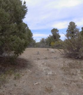
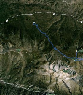
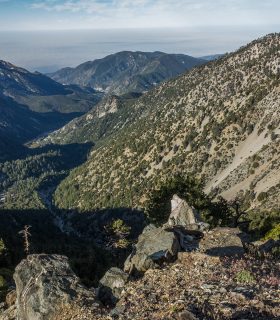
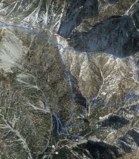
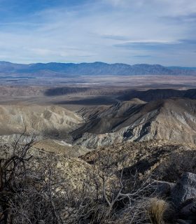
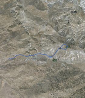
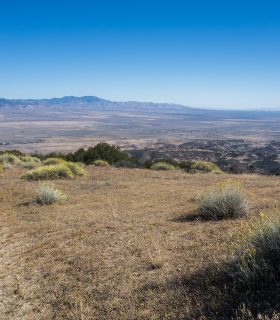
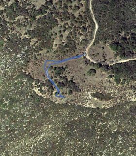
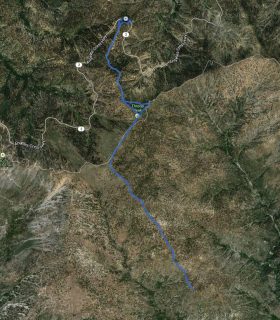
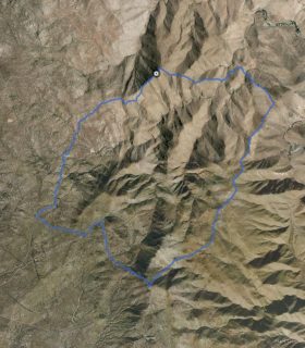
Pinyon Ridge, Wilson Benchmark – Anza Borrego – San Diego County – California
Total distance: 12.05 mi
Max elevation: 4635 ft
Min elevation: 3961 ft
Total climbing: 2273 ft
Total descent: -2271 ft
Average temperature:
Download file: 2013-02-02-PinyonRdgWilsonBM_sm.gpx
Max elevation: 4635 ft
Min elevation: 3961 ft
Total climbing: 2273 ft
Total descent: -2271 ft
Average temperature:
http://thistrail.com/gpx/2013-02-02-PinyonRdgWilsonBM_sm.gpx
(1950)