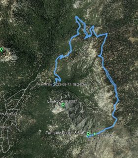
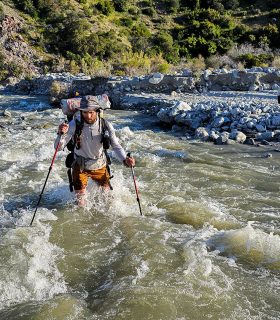
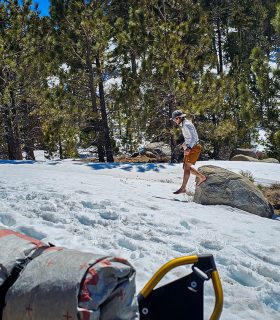
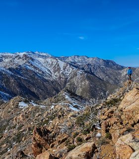
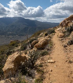
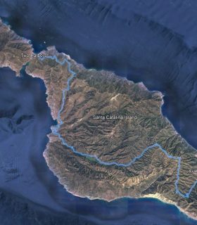
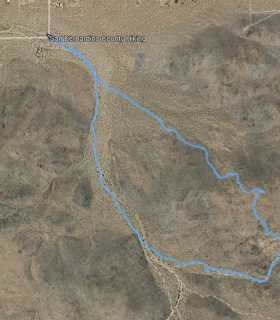
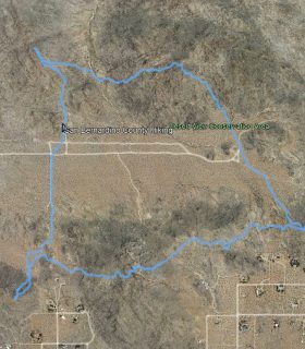
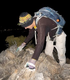
Wild Horse Peak – Agua Tibia Wilderness – Cleveland National Forest – Riverside County – California
Total distance: 11.08 mi
Max elevation: 3261 ft
Min elevation: 1549 ft
Total climbing: 2765 ft
Total descent: -2772 ft
Average temperature:
Download file: 2012-12-22-WildHorsePeak5_sm.gpx
Max elevation: 3261 ft
Min elevation: 1549 ft
Total climbing: 2765 ft
Total descent: -2772 ft
Average temperature:
http://thistrail.com/gpx/2012-12-22-WildHorsePeak5_sm.gpx
(1985)