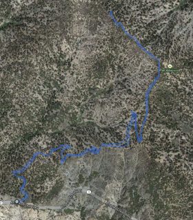
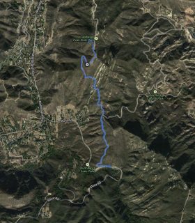
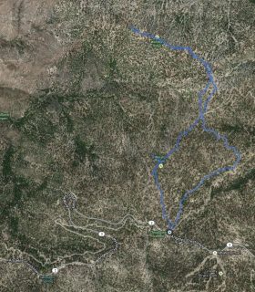
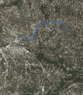
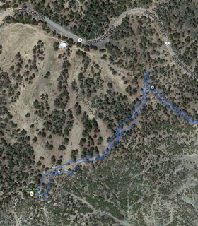
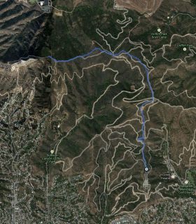
Mount Sally – Angeles National Forest – Los Angeles County – California
Total distance: 1.55 mi
Max elevation: 5378 ft
Min elevation: 4984 ft
Total climbing: 533 ft
Total descent: -561 ft
Average temperature:
Download file: 2012-10-13-MountSally.gpx
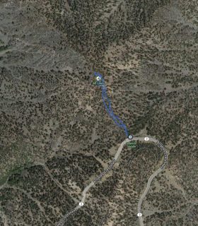
Max elevation: 5378 ft
Min elevation: 4984 ft
Total climbing: 533 ft
Total descent: -561 ft
Average temperature:
http://thistrail.com/gpx/2012-10-13-MountSally.gpx
(1607)
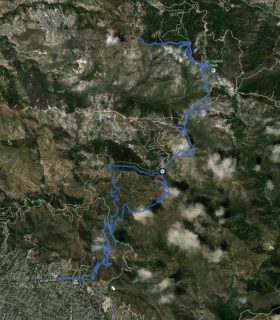
Goodykoontz Peak, Pallett Mountain, Will Thrall Peak, Pleasant View Ridge – GPS Track
2012-08-21 23:16:16
2