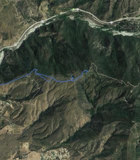
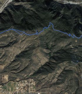
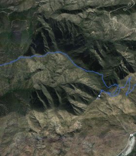
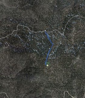
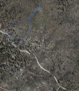
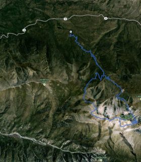
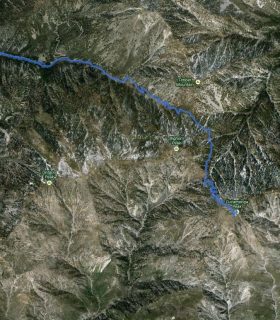
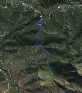
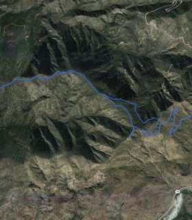
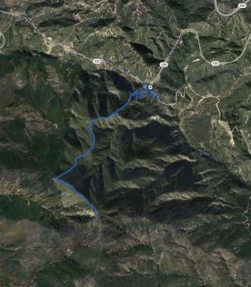
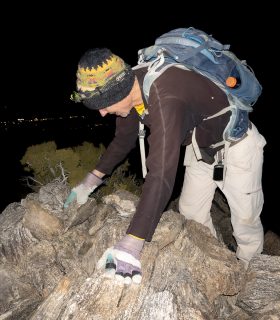
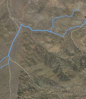
Mill Peak – San Bernardino National Forest – San Bernardino County – California
Total distance: 2.46 mi
Max elevation: 6654 ft
Min elevation: 6125 ft
Total climbing: 628 ft
Total descent: -681 ft
Average temperature:
Download file: 2012-09-15-MillPeak.gpx
Max elevation: 6654 ft
Min elevation: 6125 ft
Total climbing: 628 ft
Total descent: -681 ft
Average temperature:
http://thistrail.com/gpx/2012-09-15-MillPeak.gpx
(1683)