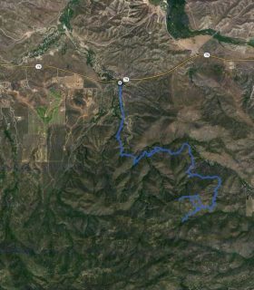
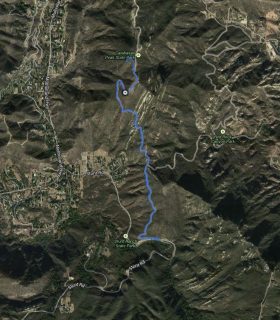
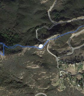
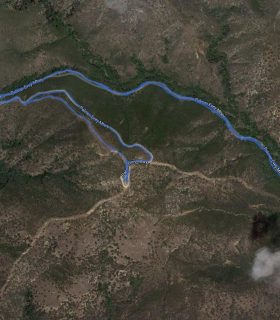
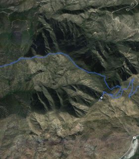
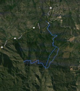
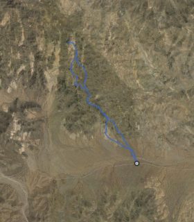
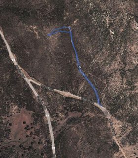
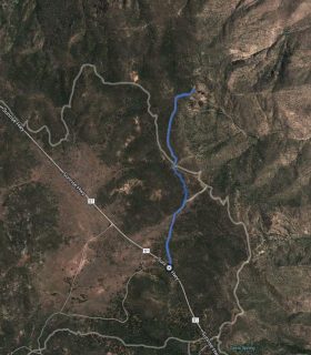
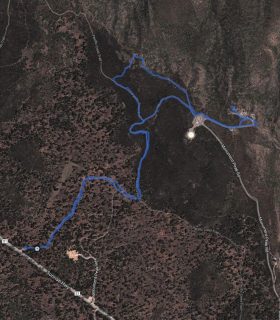
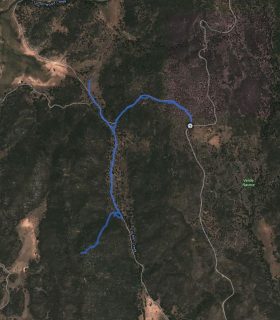
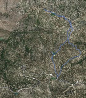
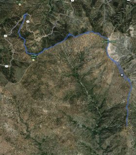
French Hill – Turtle Rock Region – Orange County – California
Total distance: 4.14 mi
Max elevation: 538 ft
Min elevation: 138 ft
Total climbing: 1058 ft
Total descent: -1030 ft
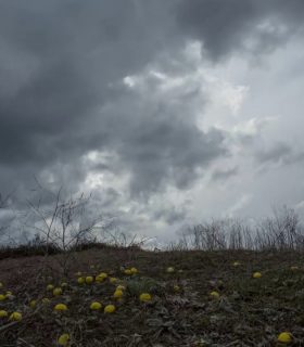
Average temperature:
Download file: 2012-06-11-FrenchHill.gpx
Max elevation: 538 ft
Min elevation: 138 ft
Total climbing: 1058 ft
Total descent: -1030 ft
Average temperature:
http://thistrail.com/gpx/2012-06-11-FrenchHill.gpx
(1623)