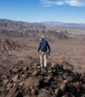
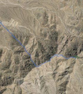
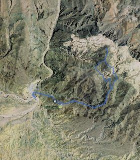
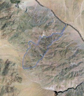
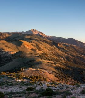
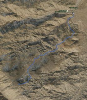
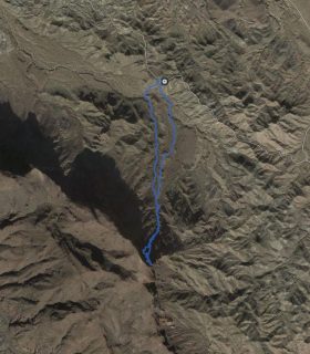
Little Chuckwalla Mountains High Point – Little Chuckwalla Mountains Wilderness Area – Riverside County – California
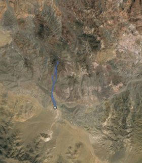
Total distance: 4.27 mi
Max elevation: 2180 ft
Min elevation: 1083 ft
Total climbing: 1330 ft
Total descent: -1323 ft
Average temperature:
Download file: 2016-01-29-LittleChuckwallaMountainsHP.gpx
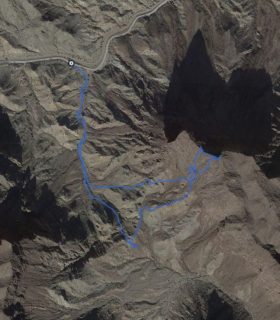
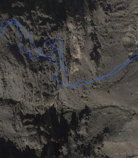
Max elevation: 2180 ft
Min elevation: 1083 ft
Total climbing: 1330 ft
Total descent: -1323 ft
Average temperature:
(1644)