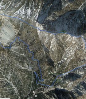
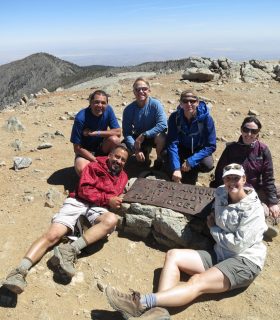
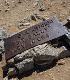
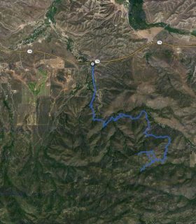
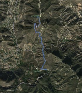
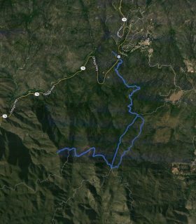
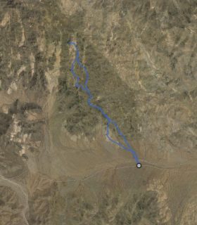
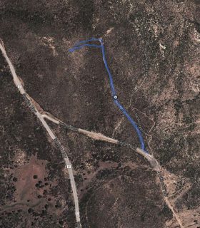
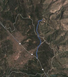
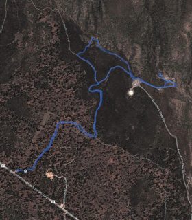
Mount San Antonio – San Gabriel Mountains – Los Angeles County – California
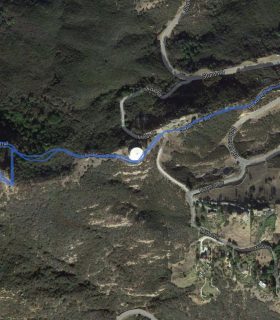
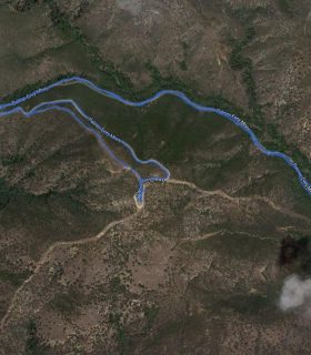
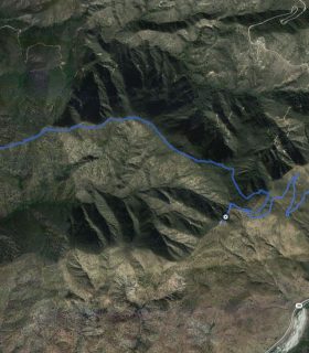
NOTE: GPS Track only depicts the ascent.
Total distance: 4.25 mi
Max elevation: 9924 ft
Min elevation: 6141 ft
Total climbing: 3923 ft
Total descent: -140 ft
Average temperature:
Download file: 2012-05-17-MountSanAntonio.gpx
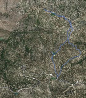
Max elevation: 9924 ft
Min elevation: 6141 ft
Total climbing: 3923 ft
Total descent: -140 ft
Average temperature:
http://thistrail.com/gpx/2012-05-17-MountSanAntonio.gpx
(1994)