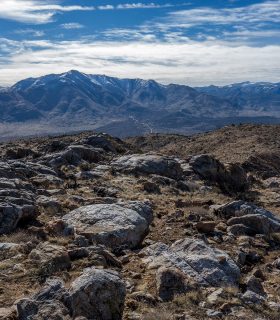
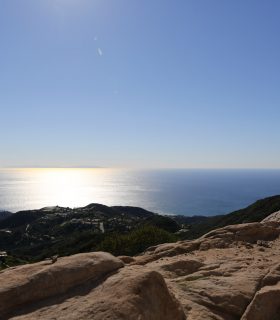
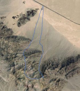
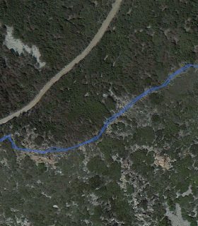
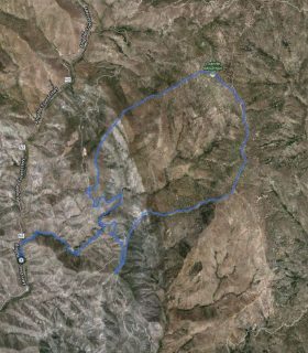
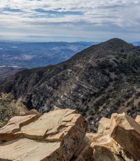
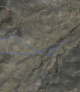
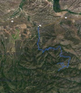
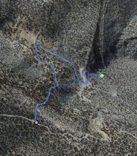
Grapevine Mountain – Anza-Borrego Desert State Park – San Diego County – California
Total distance: 6.16 mi
Max elevation: 3979 ft
Min elevation: 2229 ft
Total climbing: 2099 ft
Total descent: -2240 ft
Average temperature:
Download file: 2016-01-09-Grapevine.gpx
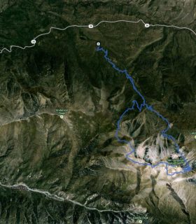
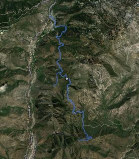
Max elevation: 3979 ft
Min elevation: 2229 ft
Total climbing: 2099 ft
Total descent: -2240 ft
Average temperature:
(1744)