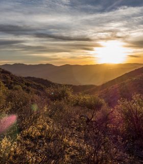
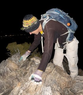
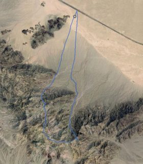
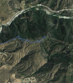
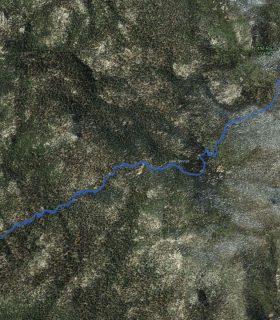
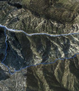
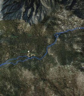
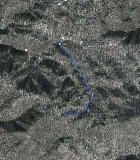
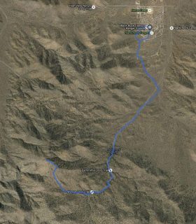
Hawes Peak, Little Shay Mountain, Ingham Peak, Shay Mountain – San Bernardino National Forest – San Bernardino County – California
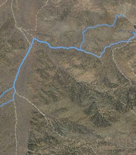
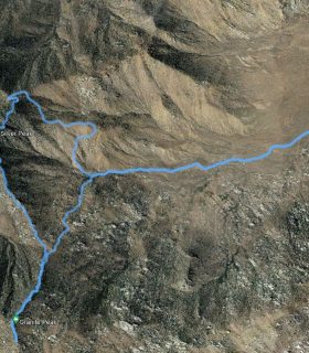
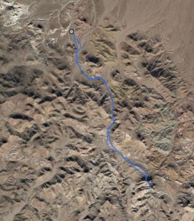
Total distance: 10.9 mi
Max elevation: 6761 ft
Min elevation: 5688 ft
Total climbing: 3656 ft
Total descent: -3675 ft
Average temperature:
Download file: 2015-12-05-ShayQuartet.gpx
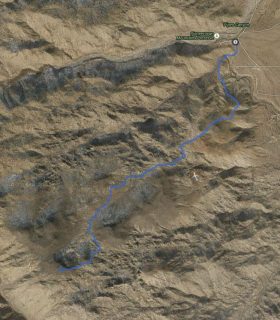
Max elevation: 6761 ft
Min elevation: 5688 ft
Total climbing: 3656 ft
Total descent: -3675 ft
Average temperature:
(1659)