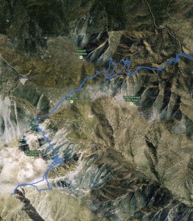
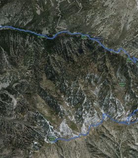
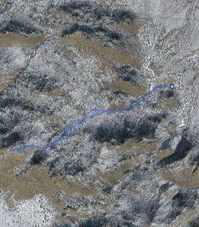
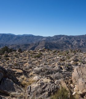
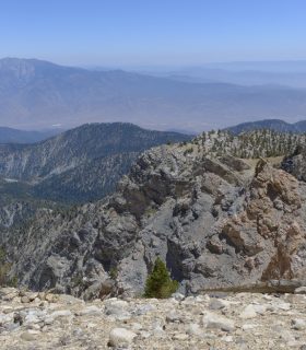
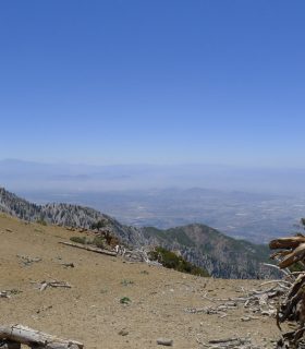
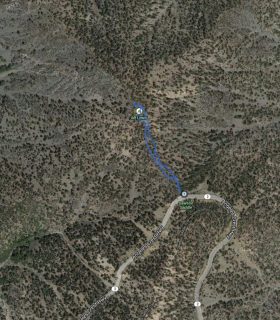
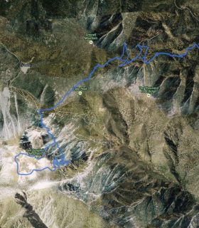
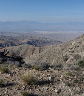
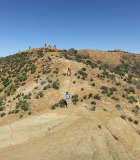
Bighorn Mountain – Bighorn Mountain Wilderness Area – Bighorn Mountain and Whitewater River National Recreation Lands – San Bernardino County – California
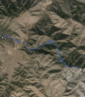
Total distance: 5.52 mi
Max elevation: 5919 ft
Min elevation: 5276 ft
Total climbing: 1312 ft
Total descent: -1303 ft
Average temperature:
Download file: 2015-11-29-BighornMountain.gpx
Max elevation: 5919 ft
Min elevation: 5276 ft
Total climbing: 1312 ft
Total descent: -1303 ft
Average temperature:
(1646)