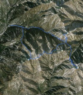
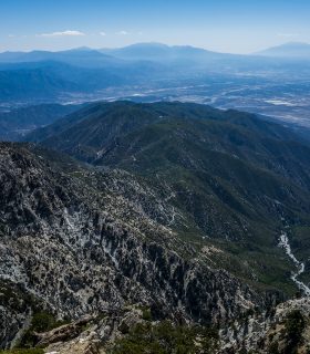
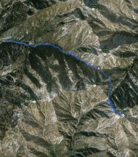
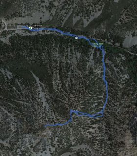
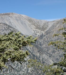
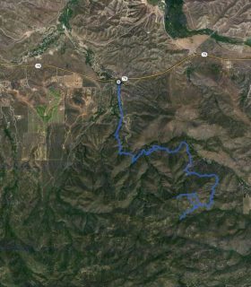
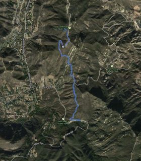
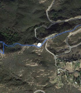
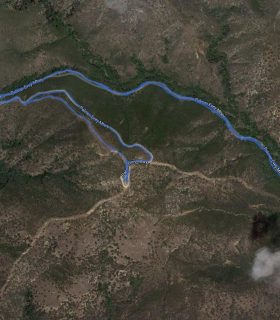
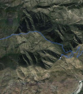
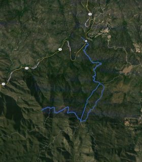
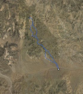
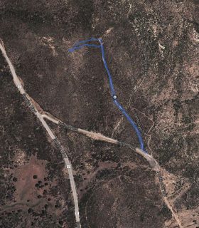
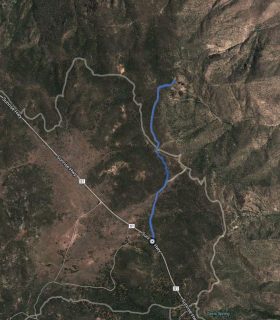
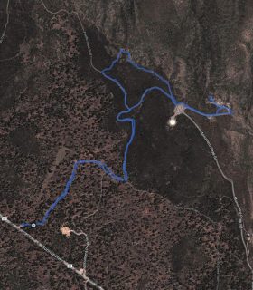
Cucamonga Peak – San Gabriel Mountains – San Bernardino County – California
Total distance: 12.33 mi
Max elevation: 8820 ft
Min elevation: 4922 ft
Total climbing: 4873 ft
Total descent: -4728 ft
Average temperature:
Download file: 2012-05-10-CucamongaPeak.gpx
Max elevation: 8820 ft
Min elevation: 4922 ft
Total climbing: 4873 ft
Total descent: -4728 ft
Average temperature:
http://thistrail.com/gpx/2012-05-10-CucamongaPeak.gpx
(1538)