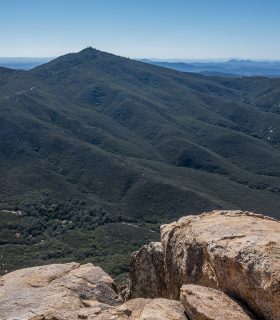
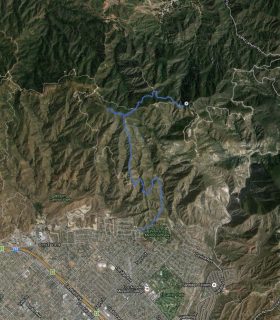
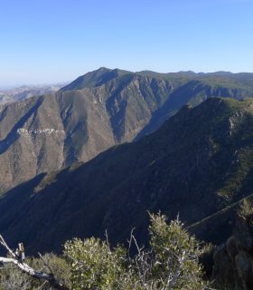
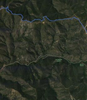
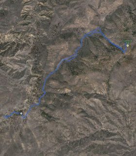
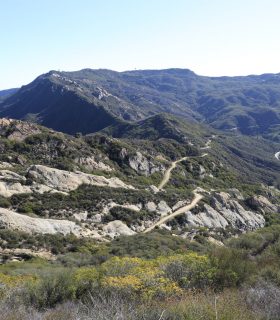
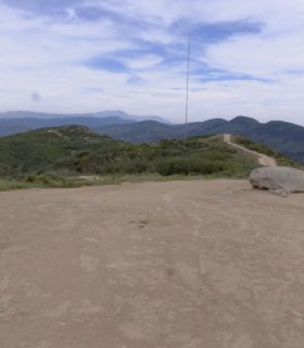
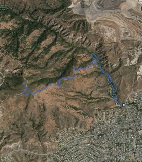
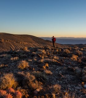
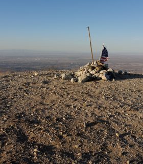
Bonita Peak, Big Iron Mountain – Cleveland National Forest – San Diego County – California
Total distance: 6.55 mi
Max elevation: 4708 ft
Min elevation: 4029 ft
Total climbing: 1951 ft
Total descent: -2086 ft
Average temperature:
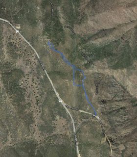
Download file: 2015-10-23-CorteMadera.gpx
Max elevation: 4708 ft
Min elevation: 4029 ft
Total climbing: 1951 ft
Total descent: -2086 ft
Average temperature:
(1925)