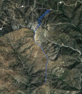
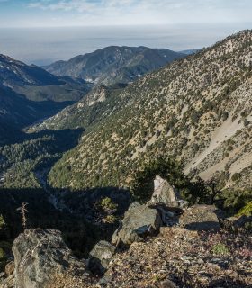
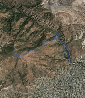
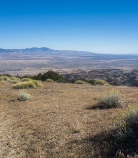
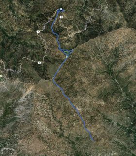
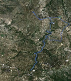
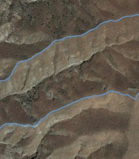
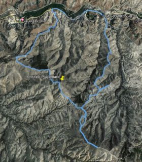
Liebre Mountain – Angeles National Forest – Los Angeles County – California
Total distance: 8.93 mi
Max elevation: 5749 ft
Min elevation: 4012 ft
Total climbing: 2142 ft
Total descent: -2058 ft
Average temperature:
Download file: 2015-09-20-Liebre.gpx
Max elevation: 5749 ft
Min elevation: 4012 ft
Total climbing: 2142 ft
Total descent: -2058 ft
Average temperature:
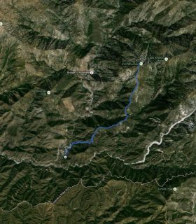
(1810)
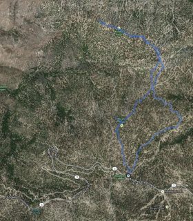
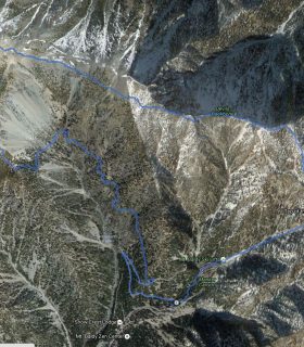
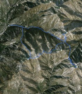
Goodykoontz Peak, Pallett Mountain, Will Thrall Peak, Pleasant View Ridge – GPS Track
2012-08-21 23:16:16
2
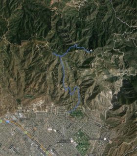
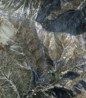
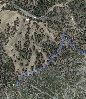
Magic Mountain Wilderness HP, The Moon, Peaks 3130, 4054, 3665, 3897 – GPS Track
2017-03-08 08:05:00
1