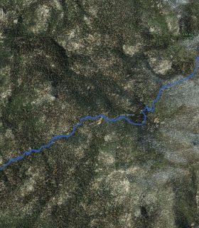
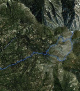
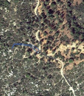
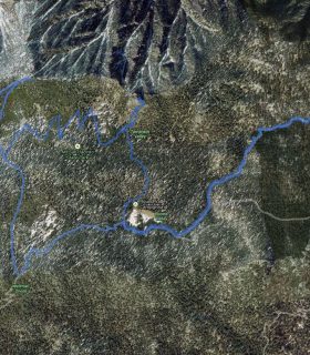
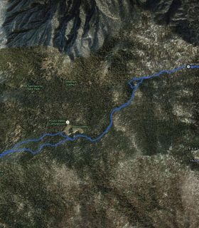
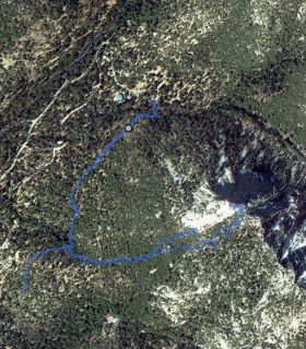
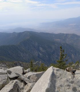
San Jacinto Pk, Folly, San Jacinto Azimuth BM, Jean, Shirley, Marion, St Ellens – San Jacinto State Wilderness – San Bernardino National Forest – Riverside County – California
Total distance: 13.84 mi
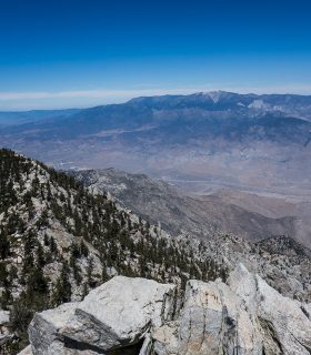
Max elevation: 10750 ft
Min elevation: 6187 ft
Total climbing: 5873 ft
Total descent: -6040 ft
Average temperature:
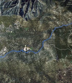
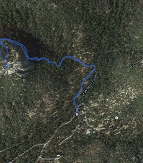
Download file: 2015-08-23-JacintoEastLookFromMarionTrail.gpx
Max elevation: 10750 ft
Min elevation: 6187 ft
Total climbing: 5873 ft
Total descent: -6040 ft
Average temperature:
(1525)