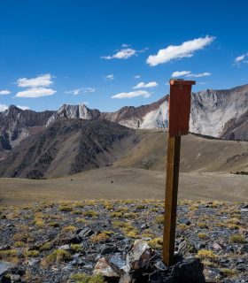
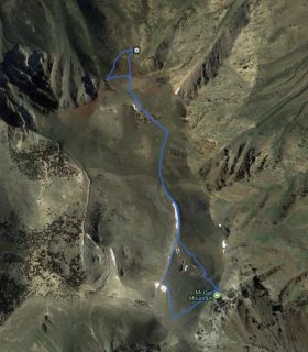
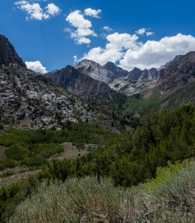
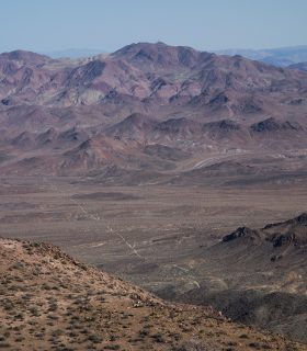
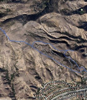
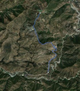
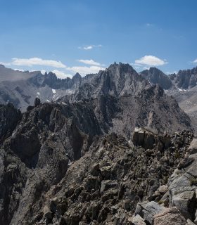
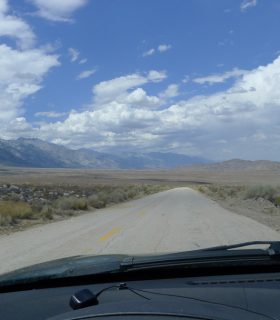
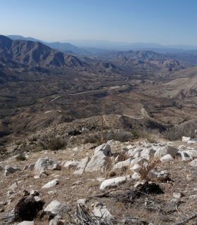
McGee Creek – John Muir Wilderness Area – Inyo National Forest – Mono County – California
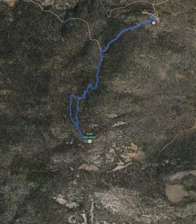
Total distance: 6.21 mi
Max elevation: 8929 ft
Min elevation: 7804 ft
Total climbing: 1180 ft
Total descent: -1173 ft
Average temperature:
Download file: 2015-08-09-McGeeCreek.gpx
Max elevation: 8929 ft
Min elevation: 7804 ft
Total climbing: 1180 ft
Total descent: -1173 ft
Average temperature:
(1919)