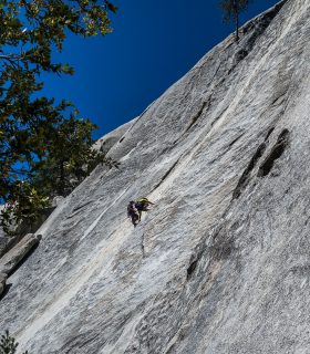
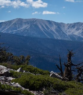
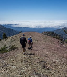
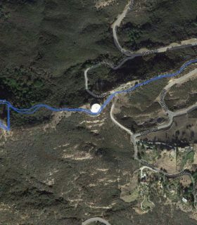
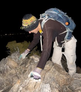
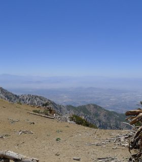
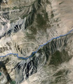
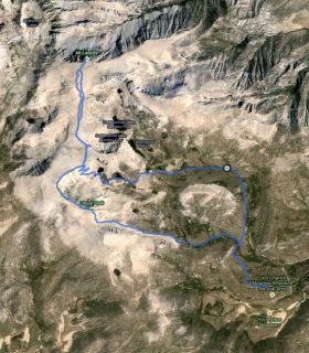
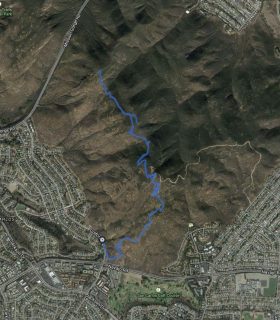
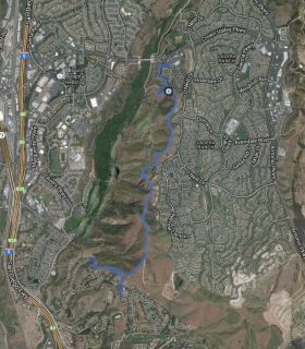
Suicide Rock – San Jacinto Wilderness Area – San Berndino National Forest – Riverside County – California
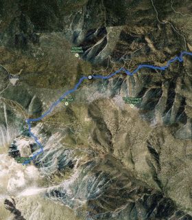
Total distance: 2.79 mi
Max elevation: 7464 ft
Min elevation: 6064 ft
Total climbing: 1695 ft
Total descent: -1676 ft
Average temperature:
Download file: 2015-07-26-SuicideRock.gpx
Max elevation: 7464 ft
Min elevation: 6064 ft
Total climbing: 1695 ft
Total descent: -1676 ft
Average temperature:
(2238)