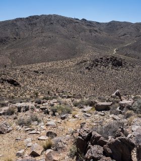
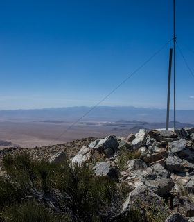
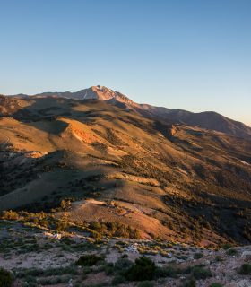
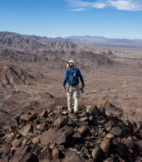
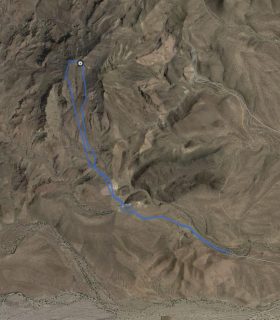
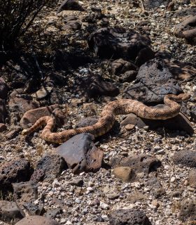
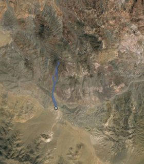
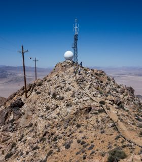
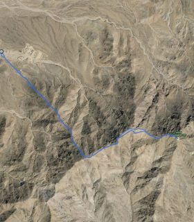
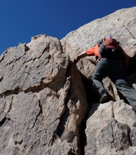
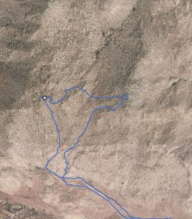
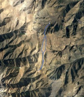
Rodman Mountains Highpoint – Southern Mojave Ranges – San Bernardino County – California
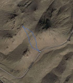
Total distance: 0.21 mi
Max elevation: 6008 ft
Min elevation: 5947 ft
Total climbing: 94 ft
Total descent: -88 ft
Average temperature:
Download file: 2015-04-19-RodmanMountainsHP.gpx
Max elevation: 6008 ft
Min elevation: 5947 ft
Total climbing: 94 ft
Total descent: -88 ft
Average temperature:
(1609)