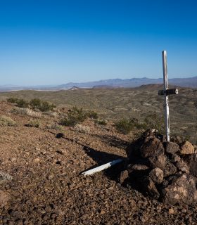
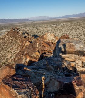
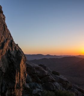
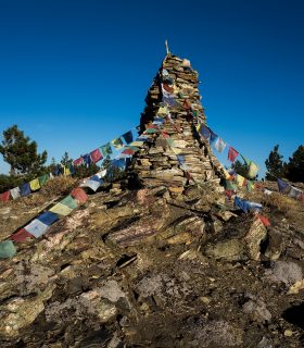
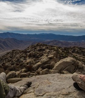
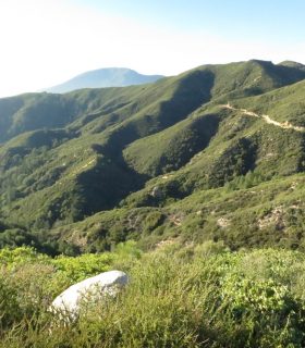
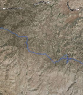
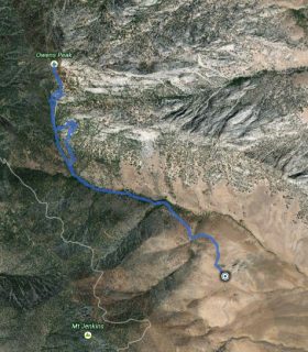
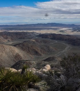
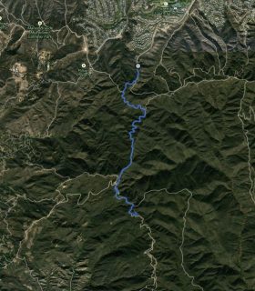
Katz Benchmark – Northwest Mojave Range – San Bernardino County – California
Total distance: 0.64 mi
Max elevation: 3132 ft
Min elevation: 2966 ft
Total climbing: 149 ft
Total descent: -191 ft
Average temperature:
Download file: 2015-04-18-KatzBenchmark.gpx
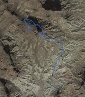
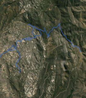
Max elevation: 3132 ft
Min elevation: 2966 ft
Total climbing: 149 ft
Total descent: -191 ft
Average temperature:
(1784)