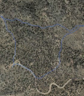
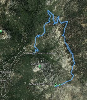
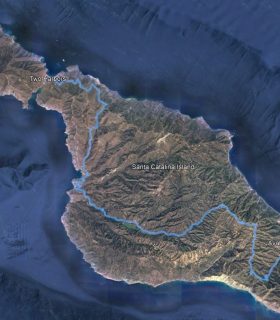
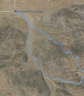
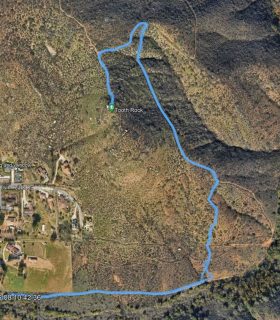
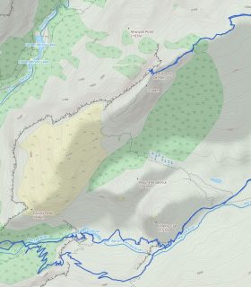
Eureka Peak – Joshua Tree National Park– San Bernardino County and Riverside County – California
Total distance: 0.35 mi
Max elevation: 5658 ft
Min elevation: 5594 ft
Total climbing: 83 ft
Total descent: -86 ft
Average temperature:
Download file: 2014-12-29-EurekaPeak.gpx
Max elevation: 5658 ft
Min elevation: 5594 ft
Total climbing: 83 ft
Total descent: -86 ft
Average temperature:
(1611)