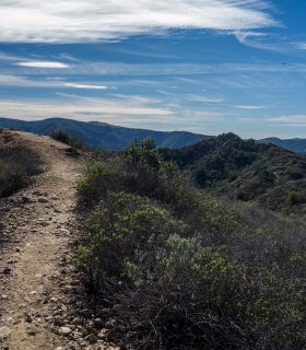
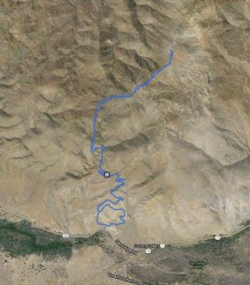
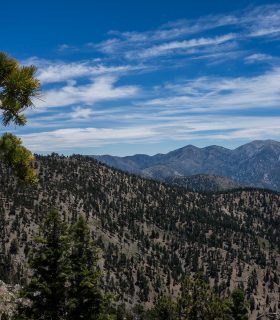
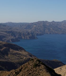
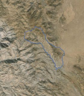
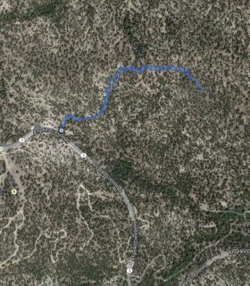
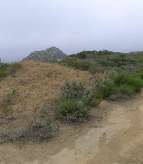
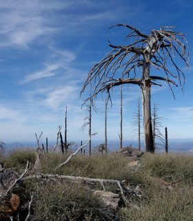
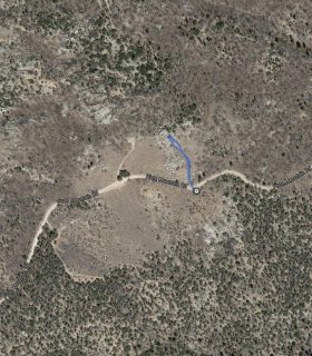
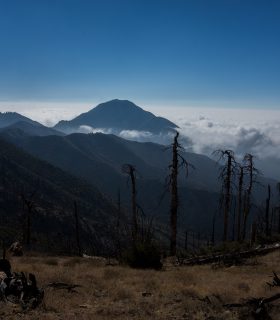
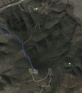
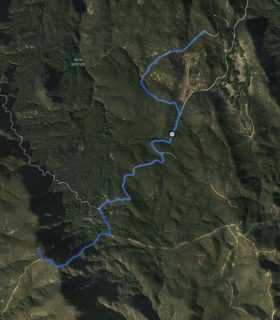
Pinhead Peak, Point Rancho BM – Cleveland National Forest – Orange County – California
Total distance: 3.17 mi
Max elevation: 813 ft
Min elevation: 459 ft
Total climbing: 813 ft
Total descent: -768 ft
Average temperature:
Download file: 2014-12-28-PinheadPointRancho.gpx
Max elevation: 813 ft
Min elevation: 459 ft
Total climbing: 813 ft
Total descent: -768 ft
Average temperature:
(2219)