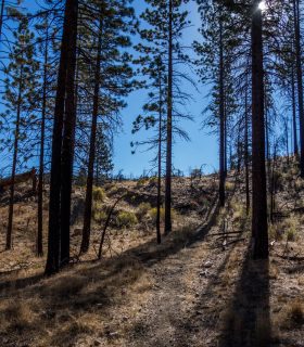
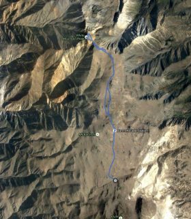
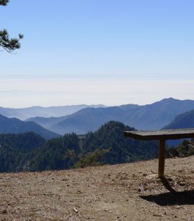
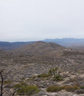
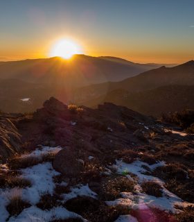
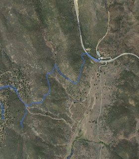
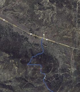
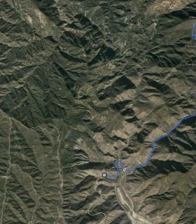
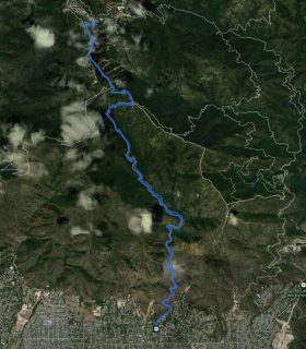
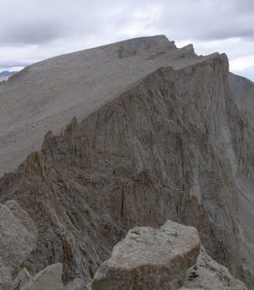
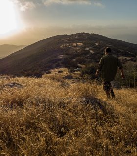
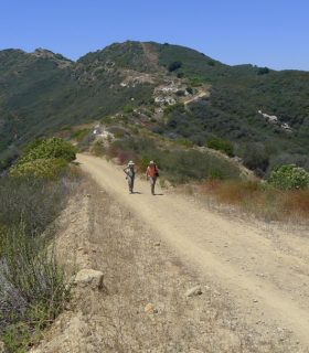
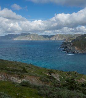
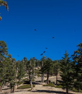
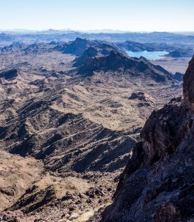
Lockwood Peak – Los Padres National Forest – Ventura County – California
Total distance: 5.64 mi
Max elevation: 6254 ft
Min elevation: 5445 ft
Total climbing: 1526 ft
Total descent: -1490 ft
Average temperature:
Download file: 2014-09-20-LockwoodPeak.gpx
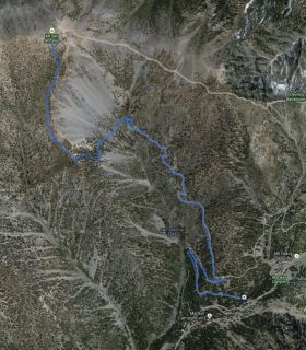
Max elevation: 6254 ft
Min elevation: 5445 ft
Total climbing: 1526 ft
Total descent: -1490 ft
Average temperature:
(1701)