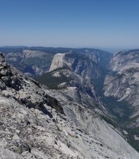
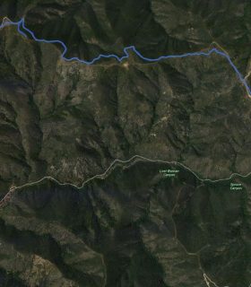
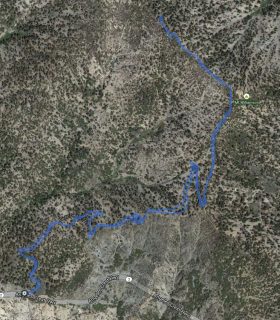
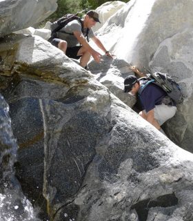
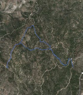
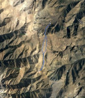
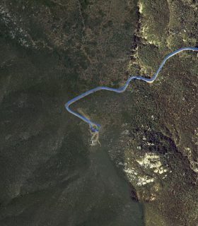
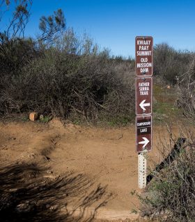
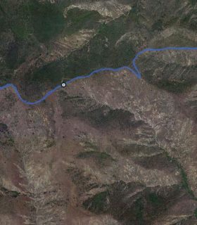
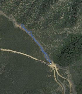
Clouds Rest- Yosemite National Park – Mariposa County – California
Total distance: 12.56 mi
Max elevation: 9925 ft
Min elevation: 8129 ft
Total climbing: 3117 ft
Total descent: -3223 ft
Average temperature:
Download file: 2014-06-07-CloudsRest.gpx
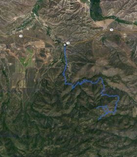
Max elevation: 9925 ft
Min elevation: 8129 ft
Total climbing: 3117 ft
Total descent: -3223 ft
Average temperature:
(2802)