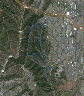
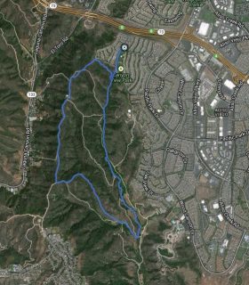
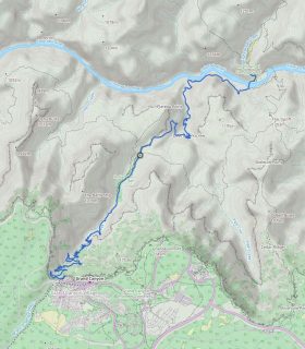
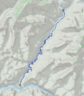
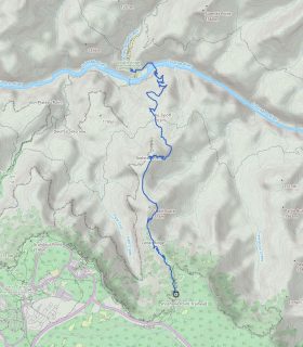
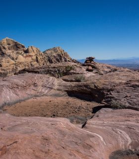
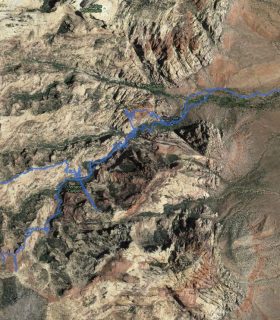
Black Star Canyon – Orange County – California
Total distance: 7.28 mi
Max elevation: 1609 ft
Min elevation: 868 ft
Total climbing: 1391 ft
Total descent: -1353 ft
Average temperature:
Download file: 2012-03-29-BlackStar.gpx
Max elevation: 1609 ft
Min elevation: 868 ft
Total climbing: 1391 ft
Total descent: -1353 ft
Average temperature:
http://thistrail.com/gpx/2012-03-29-BlackStar.gpx
(2065)
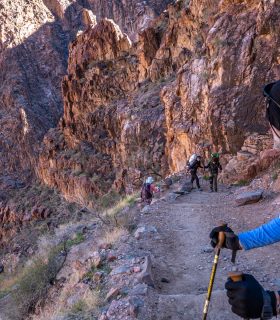
Awesome hike… not distance but challenging rock climbing. Picked up a dredded tick there and he latched. I hope there isn’t after affects.
Steve