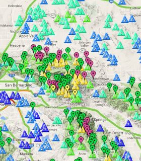
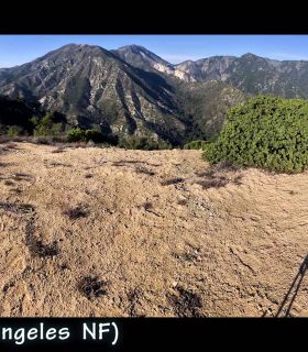
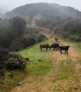
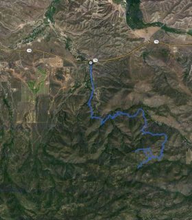
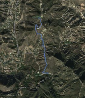
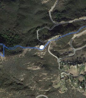
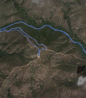
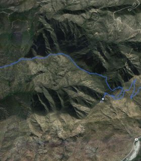
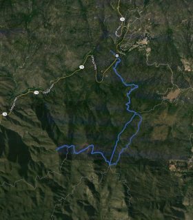
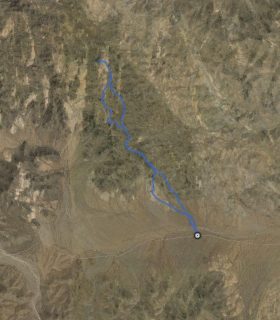
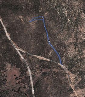
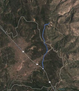
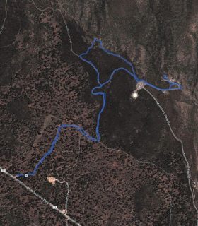
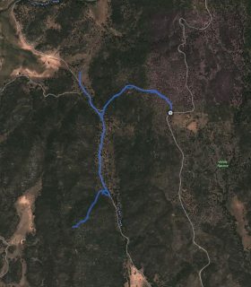
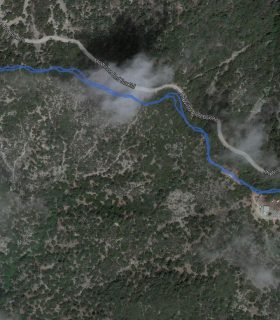
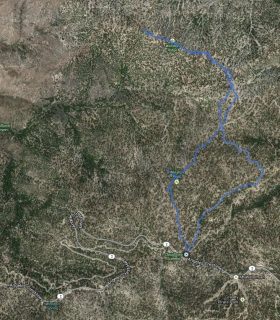
Sierra Peak – Cleveland National Forest – Orange/Riverside County – California
Total distance: 13.35 mi
Max elevation: 3050 ft
Min elevation: 428 ft
Total climbing: 4764 ft
Total descent: -4740 ft
Average temperature:
Download file: 2012-03-03-SierraPeak.gpx
Max elevation: 3050 ft
Min elevation: 428 ft
Total climbing: 4764 ft
Total descent: -4740 ft
Average temperature:
http://thistrail.com/gpx/2012-03-03-SierraPeak.gpx
(1712)