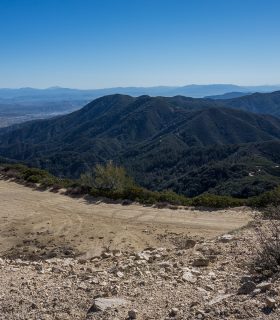
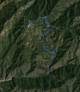
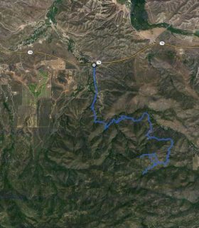
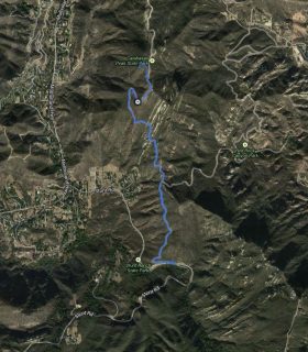
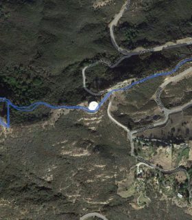
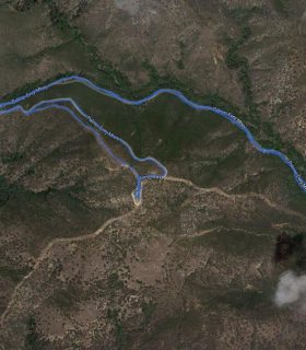
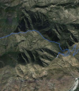
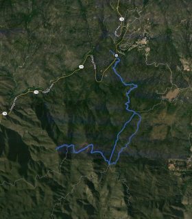
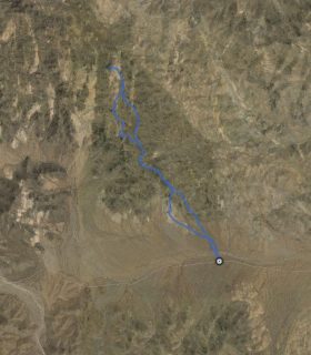
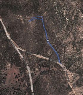
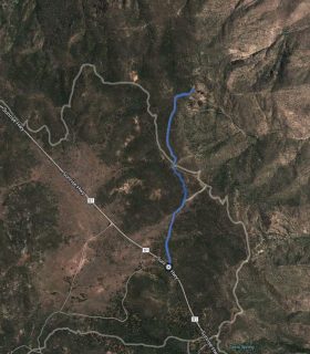
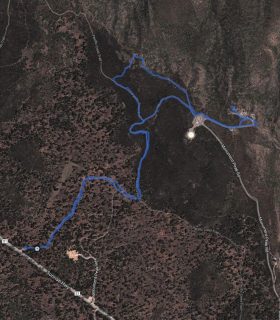
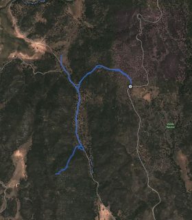
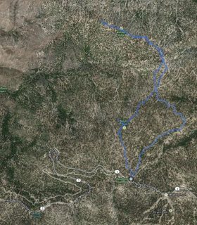
Santiago Peak (Saddleback Mountain) – Santa Ana Mountains – Cleveland National Forest – Orange County – California
Total distance: 16.02 mi
Max elevation: 5684 ft
Min elevation: 1711 ft
Total climbing: 5564 ft
Total descent: -5526 ft
Average temperature:
Download file: 2012-02-18-SantiagoPeak.gpx
Max elevation: 5684 ft
Min elevation: 1711 ft
Total climbing: 5564 ft
Total descent: -5526 ft
Average temperature:
http://thistrail.com/gpx/2012-02-18-SantiagoPeak.gpx
(2017)