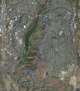
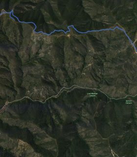
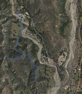
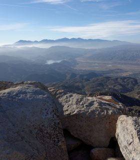
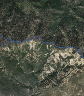
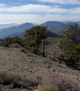
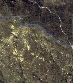
Bedford Peak + Pleasants Peak – Santa Ana Mountains – Cleveland National Forest – Orange County – California
Total distance: 18.21 mi
Max elevation: 4031 ft
Min elevation: 1836 ft
Total climbing: 5917 ft
Total descent: -5917 ft
Average temperature:
Download file: 01-22-12-BedfordPleasants.gpx
Max elevation: 4031 ft
Min elevation: 1836 ft
Total climbing: 5917 ft
Total descent: -5917 ft
Average temperature:
http://thistrail.com/gpx/01-22-12-BedfordPleasants.gpx
(2130)


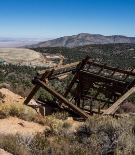
Palms Benchmark, Elder Benchmark, Collins Benchmark, Knob Benchmark – Photo Gallery
2014-01-25 21:25:31
1