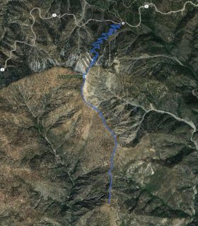
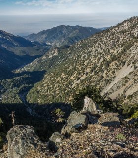
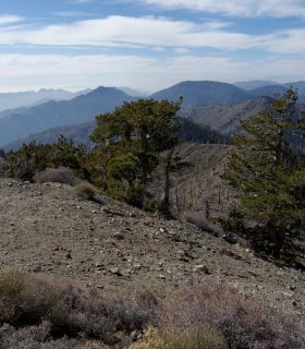
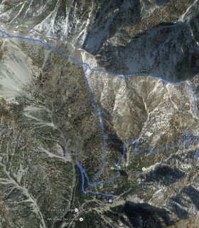
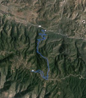
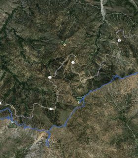
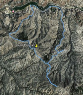
Copter Ridge, Throop Peak, Mount Hawkins – Angeles National Forest – Los Angeles County – California
Total distance: 9.72 mi
Max elevation: 9128 ft
Min elevation: 7403 ft
Total climbing: 3469 ft
Total descent: -3448 ft
Average temperature:
Download file: 2014-02-25-CopterRidge.gpx
Max elevation: 9128 ft
Min elevation: 7403 ft
Total climbing: 3469 ft
Total descent: -3448 ft
Average temperature:
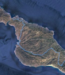
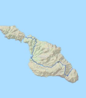
(1913)
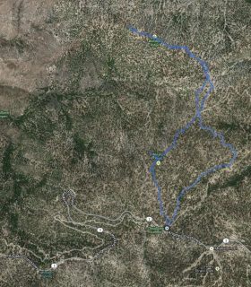
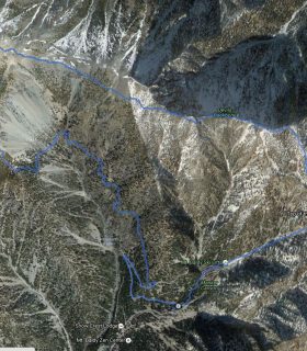
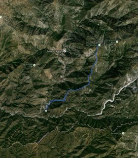
Goodykoontz Peak, Pallett Mountain, Will Thrall Peak, Pleasant View Ridge – GPS Track
2012-08-21 23:16:16
2
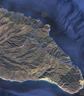
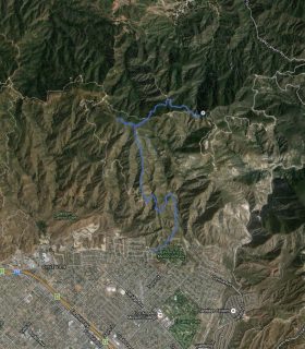
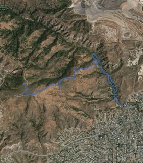
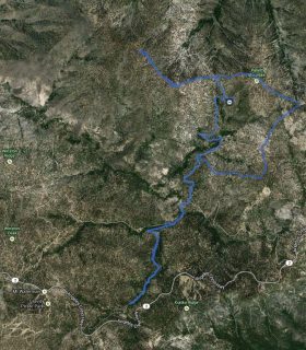
Magic Mountain Wilderness HP, The Moon, Peaks 3130, 4054, 3665, 3897 – GPS Track
2017-03-08 08:05:00
1