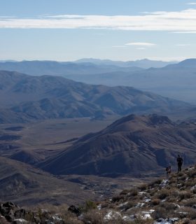
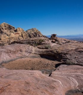
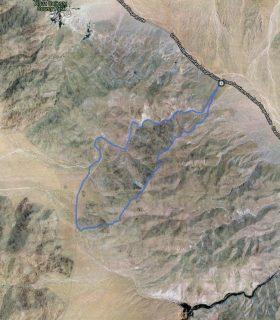
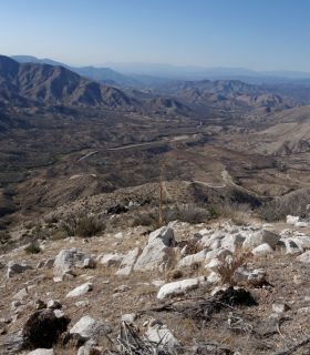
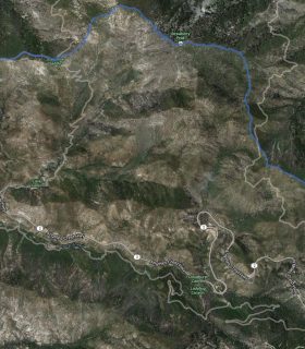
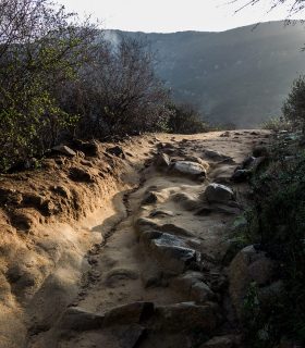
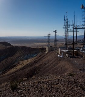
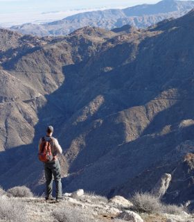
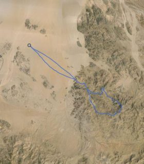
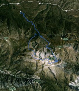
Mount Tule, Groan Benchmark, Gasp Benchmark – Anza Borrego Desert State Park – San Diego County – California
Total distance: 10.28 mi
Max elevation: 4635 ft
Min elevation: 1648 ft
Total climbing: 4720 ft
Total descent: -4702 ft
Average temperature:
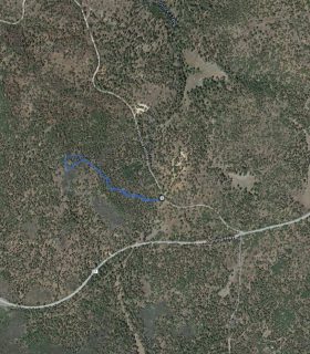
Download file: 2013-12-30-TuleGroanGasp.gpx
Max elevation: 4635 ft
Min elevation: 1648 ft
Total climbing: 4720 ft
Total descent: -4702 ft
Average temperature:
(3643)
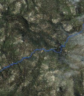

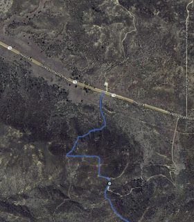
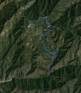
San Gorgonio Mountain – Loop – Up via Dry Lake, Down via Dollar Lake – GPS Track
2013-06-22 21:28:42
1