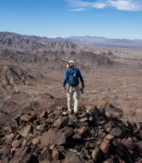
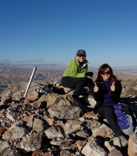
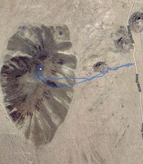
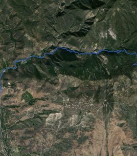
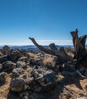
Chuckwalla Mountain- Southern Sierra Nevada – Kern County – California
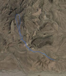
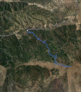
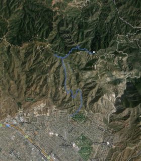
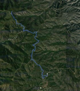
Total distance: 8.89 mi
Max elevation: 5030 ft
Min elevation: 2640 ft
Total climbing: 3069 ft
Total descent: -2392 ft
Average temperature:
Download file: 2013-11-24-ChuckwallaMountain.gpx
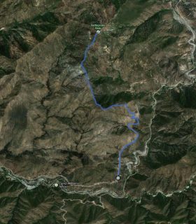
Max elevation: 5030 ft
Min elevation: 2640 ft
Total climbing: 3069 ft
Total descent: -2392 ft
Average temperature:
(10522)