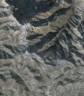
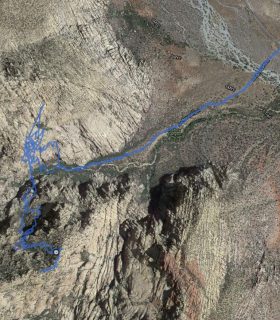
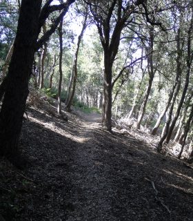
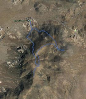
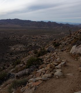
Ryan Mountain – Joshua Tree National Park – Riverside County – California
Total distance: 2.89 mi
Max elevation: 5438 ft
Min elevation: 4410 ft
Total climbing: 1053 ft
Total descent: -1025 ft
Average temperature:
Download file: 2013-10-26-RyanMountain.gpx
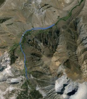
Max elevation: 5438 ft
Min elevation: 4410 ft
Total climbing: 1053 ft
Total descent: -1025 ft
Average temperature:
(1788)


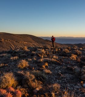
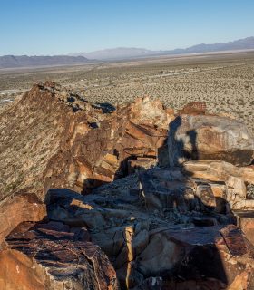
Magic Mountain Wilderness HP, The Moon, Peaks 3130, 4054, 3665, 3897 – Photo Gallery
2017-03-08 08:10:00
1