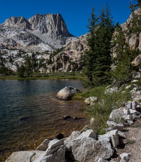
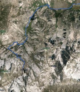
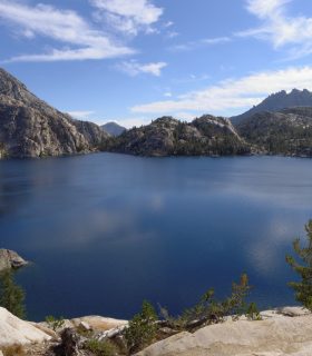
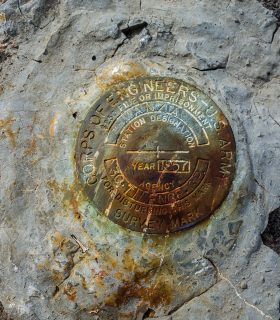
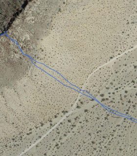
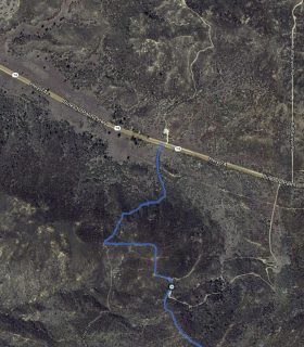
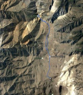
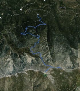
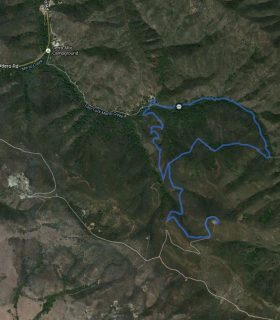
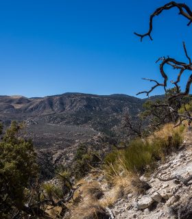
Crown Point – Hoover Wilderness – Sierra Nevada Range – Mono County – California
Total distance: 19.86 mi
Max elevation: 11359 ft
Min elevation: 7114 ft
Total climbing: 6918 ft
Total descent: -6920 ft
Average temperature:
Download file: 2013-08-16-CrownPoint.gpx
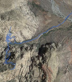
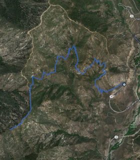
Max elevation: 11359 ft
Min elevation: 7114 ft
Total climbing: 6918 ft
Total descent: -6920 ft
Average temperature:
(2119)