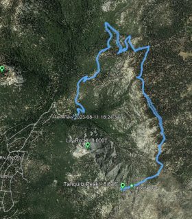
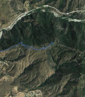
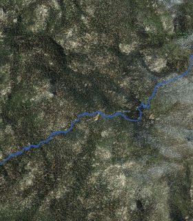
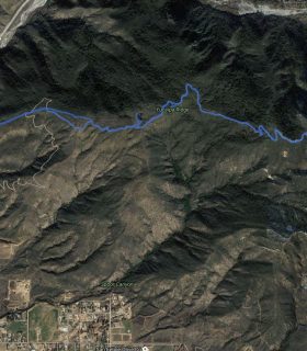
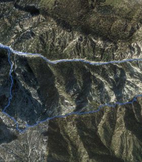
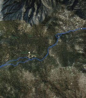
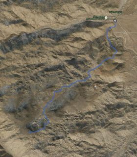
Cleghorn Mountain – San Bernardino National Forest – San Bernardino County – California
Total distance: 0.53 mi
Max elevation: 5353 ft
Min elevation: 5156 ft
Total climbing: 698 ft
Total descent: -705 ft
Average temperature:
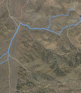
Download file: 2013-06-13-Cleghorn.gpx
Max elevation: 5353 ft
Min elevation: 5156 ft
Total climbing: 698 ft
Total descent: -705 ft
Average temperature:
(1756)